
Find the Secret Paths That Stitch Our Cities Together
Start Mapping With Confidence
Find and Verify Locations

Capture Useful Evidence

Tag Smartly for Discovery

Night and Weather Awareness
Twilight shadows and rain can transform familiar steps into risky traps. Note lighting availability, reflective paint, nearby residences, and alternate routes. Encourage companions, carry small lights, and update entries after storms, landslides, or construction so others anticipate hazards before setting out and stay prepared.
Property and Privacy
Some passages run beside homes or behind businesses, legally open yet sensitive. Frame photos to avoid windows, blur identifying details where appropriate, and refrain from publishing keypad codes or locks. Invite feedback from residents, and incorporate respectful signage suggestions that balance openness, safety, and neighborhood calm.
Reporting Issues Quickly
When you encounter broken steps, blocked handrails, or aggressive signage, add a caution flag, detailed notes, and contact numbers for reporting. Encourage others to upvote safety alerts, attach fresh photos, and confirm resolutions so the map reflects current, trustworthy conditions and prevents avoidable injuries or conflicts.
Tools and Techniques That Make Mapping Easy
Choosing the Right App
Compare intuitive interfaces, battery efficiency, waypoint editing, and export formats like GPX, KML, and GeoJSON. Favor apps that snap to paths without distorting raw points, support offline imagery, and let you attach notes, photos, and accessibility tags directly during your walk, ride, or scouting mission.
Data Quality and Metadata
Good entries explain where a connector begins, how it bends, and what surfaces and grades users will meet. Include counts, landings, shade, traffic conflicts, and bicycle carry zones. Detailed metadata transforms scattered tips into dependable routes that commuters, families, and visitors can trust and reuse.


Stories From the Steps
From Shortcuts to Routes
Designing Scenic Loops
Commuter-Focused Stitching
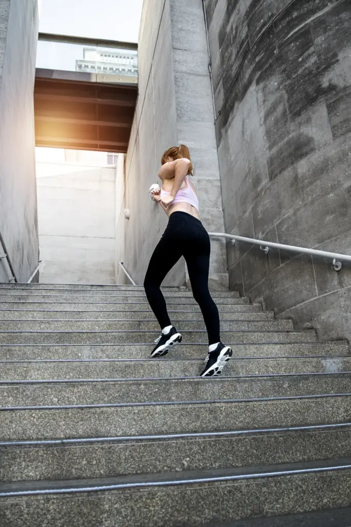
Training on the Steps
How to Submit Your First Entry
Ways to Volunteer Locally
All Rights Reserved.